The municipality of Brenzone sul Garda, bordering north with our own where it ends in Pai, has developed an application for smartphones and tablets (android and apple) containing a map with gps tracks of the common paths.
The app shows our current position within the map and shows us how to go along best along the way.
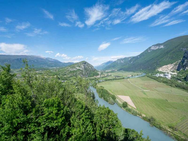
Brenzone on the Garda has a network of paths (ancient mule tracks) among the most extensive of all Lake Garda, and its territory stretches from the shores of the lake to the top of Monte Baldo.
The App is free to download under this link App trecking routes Brenzone Monte Baldo
What to do?
1- In order to read the map first you have to download AVENZA PDF MAPS from the links indicated (Apple App Store & Google Play Store).
2- Next download the Map of Brenzone at the second indicated link (Map Store Avenza Maps).


